Capture the World from New Heights
Our Services in the CSRA
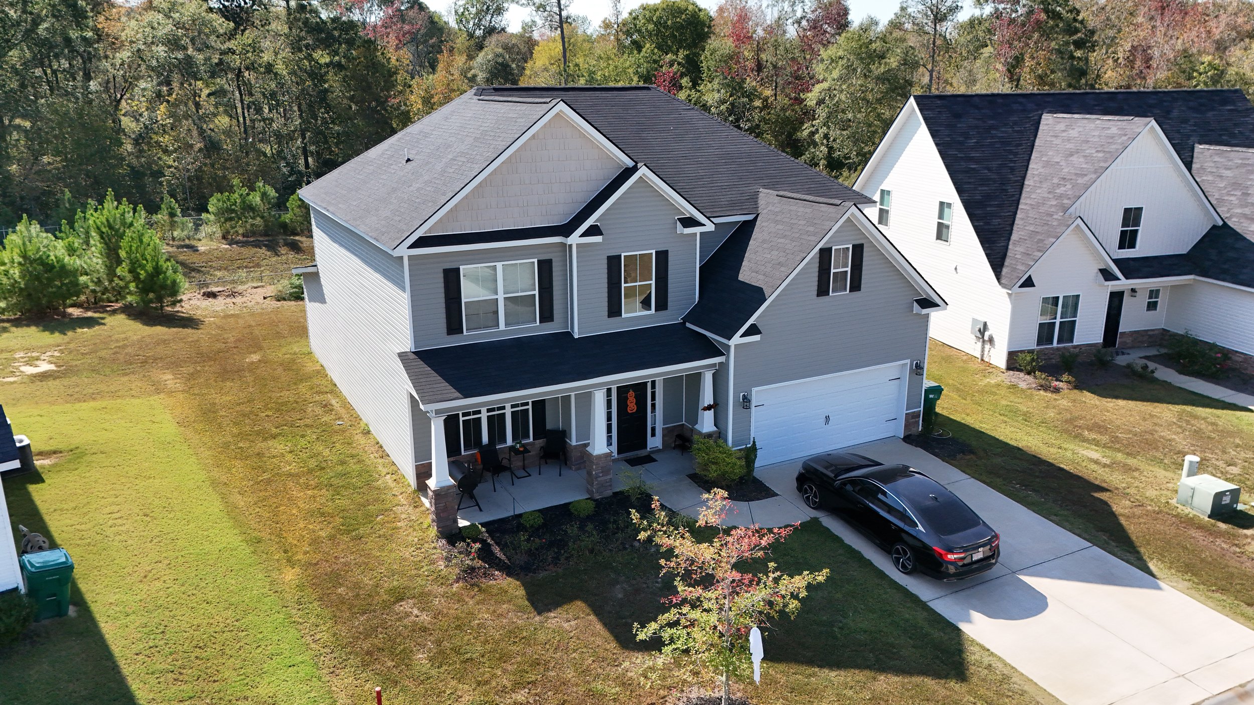
Residential Real Estate
$175.00
Capture aerial photos of your home and surrounding property to give your listing an edge!

Video (30-sec)
$75.00
Want a short 30 second aerial video of your property? We can help you with that as well.
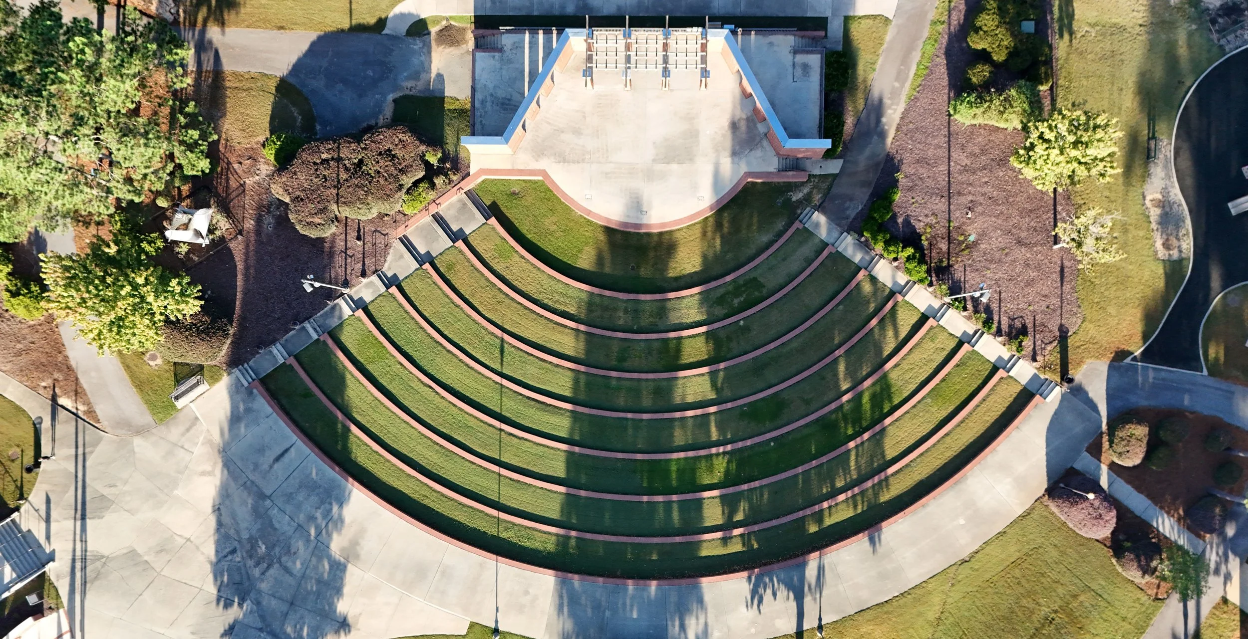
Ortho-Photo Imaging
$200.00
Need imagery for a map? Get an orthorectified and georeferenced photo for your GIS needs!
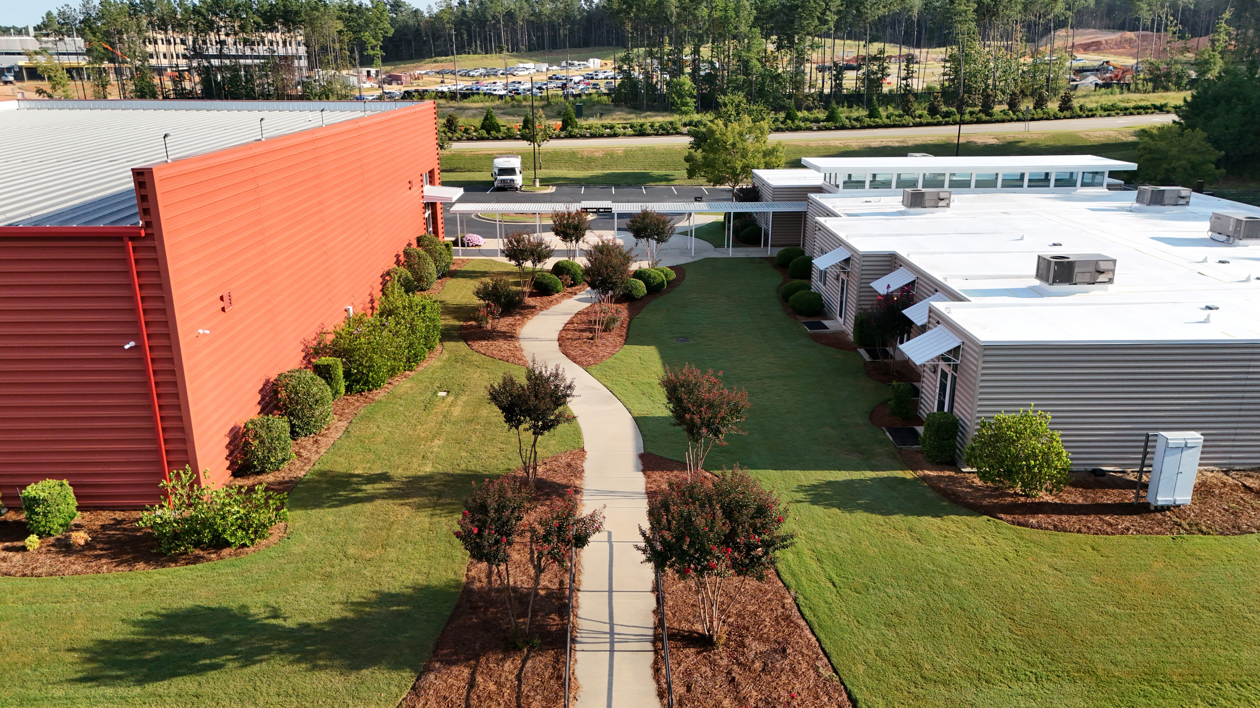
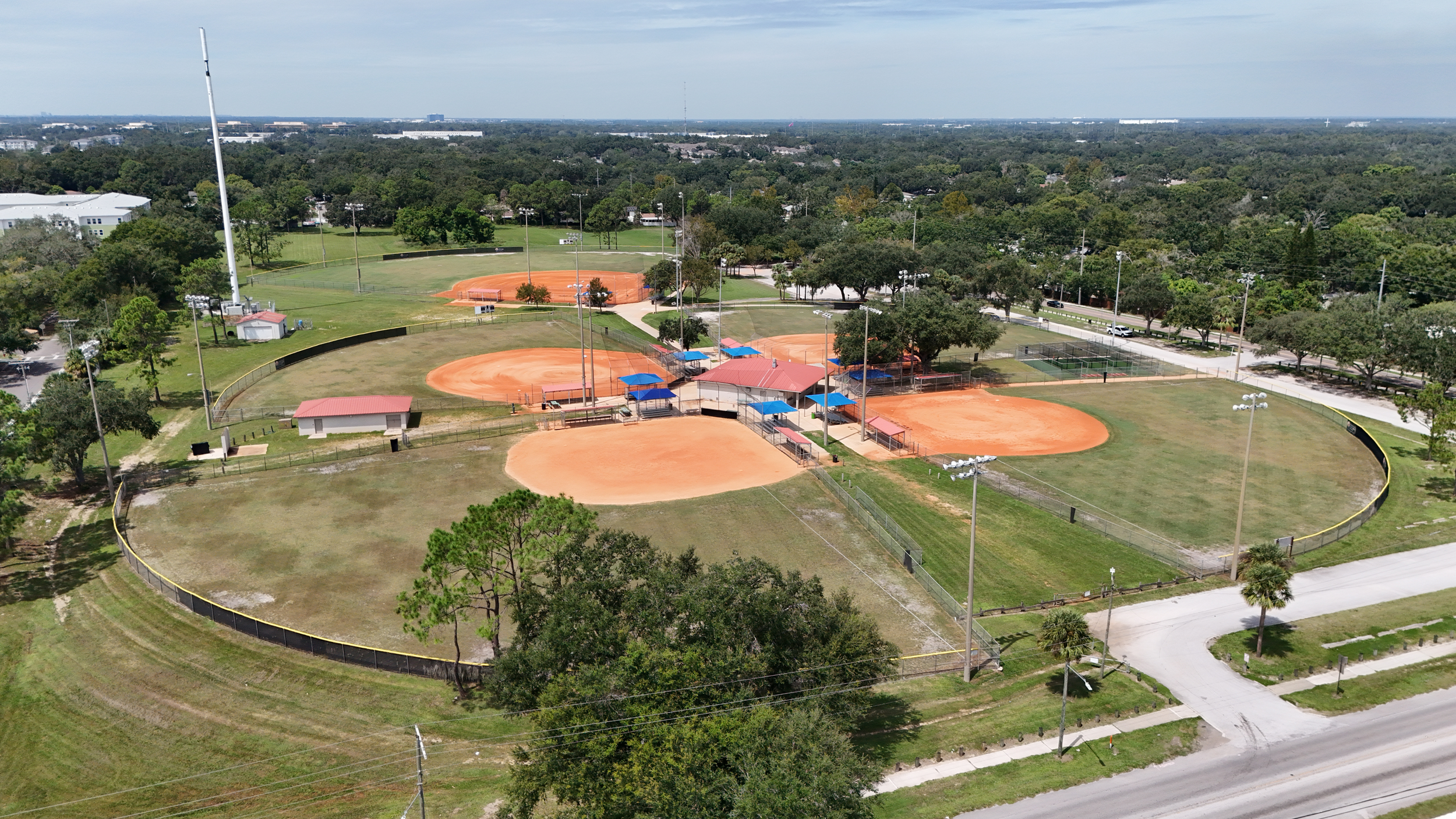
Commercial Real Estate
$350.00
Open Land to sell? No Problem! Let us capture your property from a bird's eye view!
Need a cartographic map for an upcoming event? Our GIS expertise has you covered!
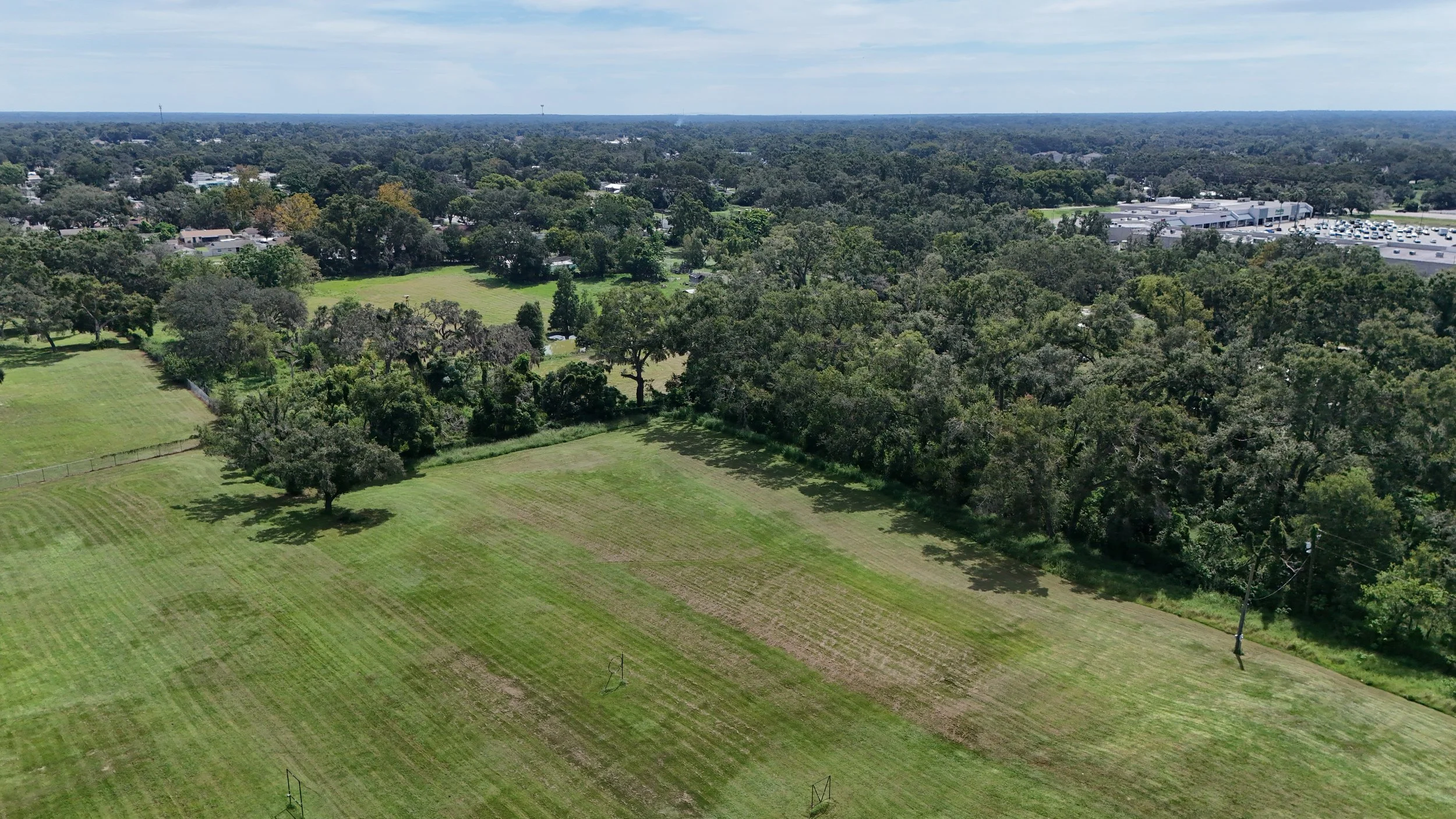
Land Real Estate
$150.00
Get high-resolution aerial photos for your business or commercial property up to 5 acres in size!
Schedule your Appointment
Preserve your most important moments by booking a drone photography session with our team today. Allow our skilled professionals to craft breathtaking images that reflect your individual vision.